For the past two summers, BCWF field crews from the Wetlands Workforce have been visiting wetlands across the Northeast corner of the province, capturing wetland conditions and working towards conservation and restoration actions. Wetlands make up an astonishing proportion of the landscape in northeastern British Columbia, and many of the individual wetlands themselves cover extensive areas.
Wetlands provide important ecosystem services such as slowing down flood waters, storing water on the landscape, filtering contaminants and nutrients, and providing habitat for keystone and endangered species. In Northeastern B.C., wetlands are particularly effective at providing habitat for moose, beaver, and caribou, capturing atmospheric carbon and storing it in the ground, and supporting a range of native plants including many types of berries. Unfortunately, wetlands have historically been understudied and under-represented in legislation.
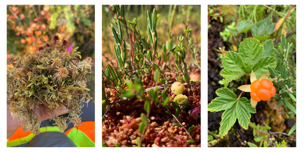
Photos Rebekah Ingram, Field Crew Supervisor, has taken in Northeastern wetlands
Through partnership with wetland specialist Paul Adamus and local Indigenous communities, the BCWF has been working to calibrate a tool in the Northeast which will allow governments and land managers to compare the characteristics of a wetland of interest to a base dataset of 100 wetlands in the area. Known as the Wetland Ecosystem Services Protocol (WESP), this tool will enable key decision makers and land managers to have access to wetland data and ensure that these ecosystems are well protected. Field crews have been visiting wetlands from Fort Nelson to Tumbler Ridge to help build WESP’s base dataset in the Northeast.
WESP could be a key tool in the tool box for land managers, helping them to identify and conserve wetlands across the landscape. This tool has been adapted for other states and Canadian provinces, and we feel it will be a great addition to wetland conservation in B.C.
– Neil Fletcher, Director of Conservation Stewardship
While on the landscape, field crews have also been assessing impacts from road crossings to wetlands and streams in an effort to find sites which would benefit from further restoration action. Roads can interfere with the water dynamics of wetland systems; the goal is to find impacted sites and take action to prevent lasting impacts to the watershed before the damage is irreversible.
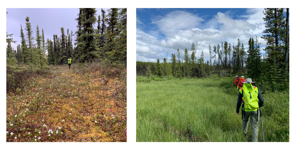
BCWF Wetlands Workforce Peace Pod in the field
Wetland mapping data has also been collected while crews are in the field, as part of a national wetland mapping initiative run by Environment and Climate Change Canada. Field crews collected drone imagery and information on wetland vegetation, water, and soil at wetlands across the region to match with satellite imagery of the sites.
This wetland data will contribute to more accurate predictive mapping of wetland location in areas which have not yet been visited. Conserving wetlands is easier to do if you know where they are, and this mapping initiative will help pinpoint them across the landscape.
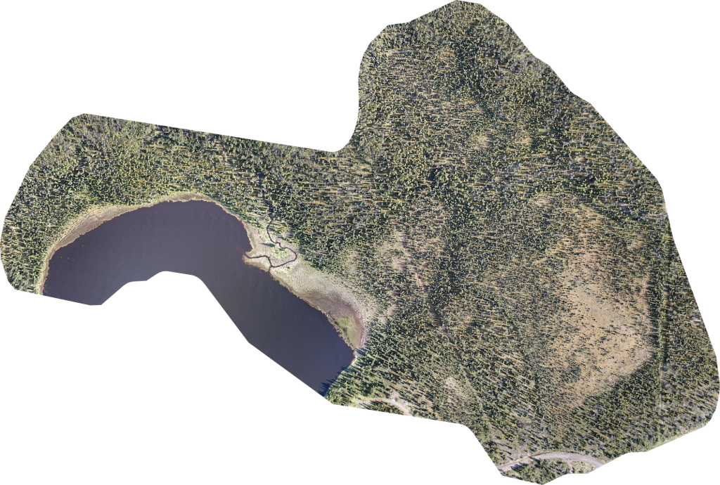
Example of drone mapping data in a Northeast wetland
By focusing conservation energy on the Northeast, the BCWF Wetlands Workforce hopes to promote responsible and respectful land use in this area which will leave room for wetlands to continue benefitting habitat and communities in the region.
Written by Rebekah Ingram, Field Crew Supervisor, Peace Pod
This work has been carried out thanks to generous contributions from: